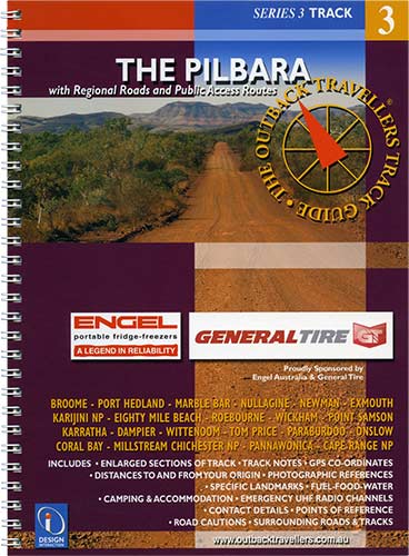
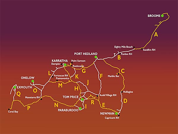
The Pilbara region takes in some of Australia's most beautiful country. From rugged mountain ranges supplying mining companies with enormous volumes of 'iron ore' to the pristine coastal waters of Ningaloo Reef and fabulous fishing locations. Deceptive as all this may be, the Pilbara is still a very remote area criss-crossed with roads and tracks from stations, mining, townships and national parks. Karajini NP and Millstream-Chichester NP offer incredible natural formations that need to be seen to be believed. The mining open cuts at Newman and Tom Price are staggering and offer a constant reminder of this huge industry via relentless iron ore trains, towing 236 trucks at 116 tons each, pulled by three powerful locomotives rolling 24/7. It is an ancient landscape, demanding but amazing, with plenty of blue skies and warm days. A mecca for tourists in all directions with great camping locations.
Impressions
Unique Visual Reference
For the traveller & Explorer
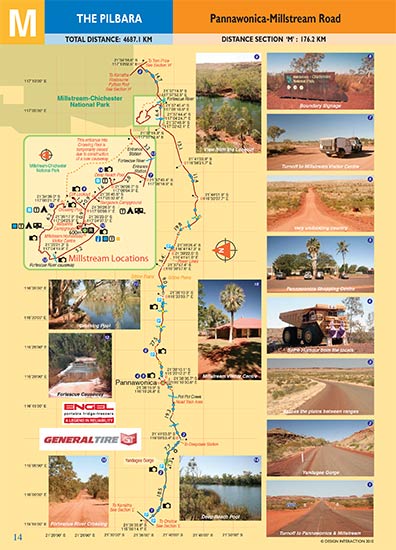
The Sectioned Maps will help you find everything of interest along the Track and point out potential road cautions in advance, supported by visual references, for the benefit of your safety. All Regional Roads and Public Access Routes. Full colour throughout. Colour coded track information indicating dips, crests, creek crossings, floodways, sharp bends, grids, gates, bogs, homestead tracks, historic sites. Photographic views, geographic locations, towns and services.
NEW! Digital Map Guides
Now available from the Avenza online shop in PDF format for usage on tablets, smartphones and Powerbooks.
