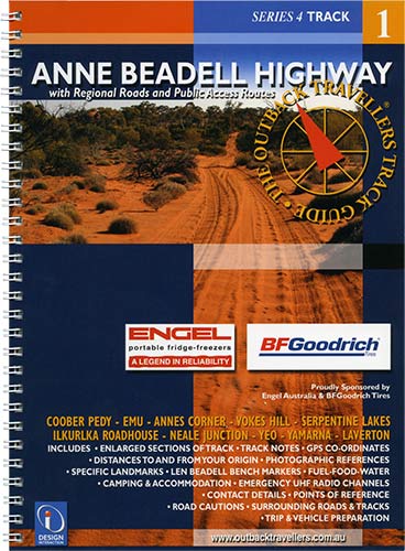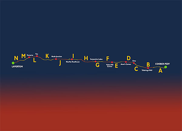

The Anne Beadell Highway was named by Len Beadell, after his wife's name, Anne. The track has become very rough with fearsome corrugations which have broken many 4WD springs and completely ruined many shock absorbers. The track runs from Coober Pedy to Laverton venturing through conservation parks and Aboriginal Land. Part of this area is the British Atomic Test site during the 1950's at Emu where two atomic bombs were exploded. The area is still barren. There are numerous small dunes to cross, interesting history and sites at Anne's Corner, Volkes Hill Corner, Serpentine Lakes and the border. Ilkurlka roadhouse is a welcome rest point offering a hot shower, supplies and fuel, with an aircraft wreck not far away, followed by Neales Junction. Len's markers and signs offer intriguing points of interest and a guiding path along the track.
Impressions
Unique Visual Reference
For the traveller & Explorer
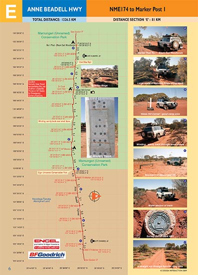
The Sectioned Maps will help you find everything of interest along the Track and point out potential road cautions in advance, supported by visual references, for the benefit of your safety. All Regional Roads and Public Access Routes. Full colour throughout. Colour coded track information indicating dips, crests, creek crossings, floodways, sharp bends, grids, gates, bogs, homestead tracks, historic sites. Photographic views, geographic locations, towns and services.

NEW! Digital Map Guides
Now available from the Avenza online shop in PDF format for usage on tablets, smartphones and Powerbooks.


