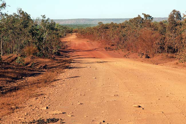
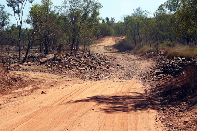
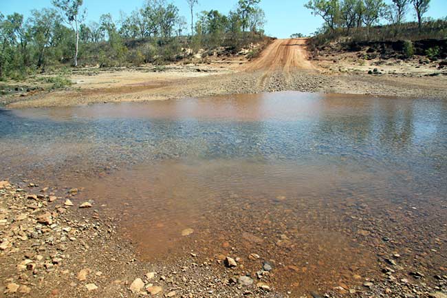
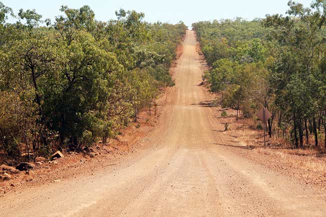
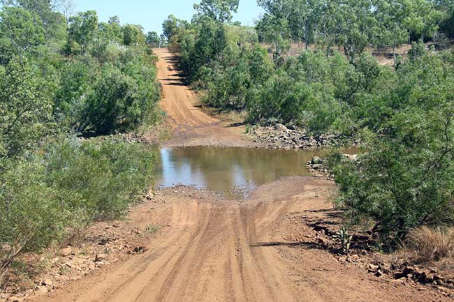
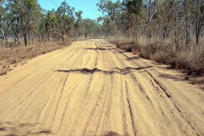
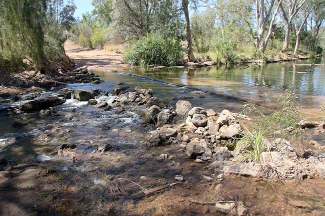
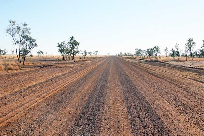
The Gulf Savannah Country is varied, rugged and beautiful, but be warned, choose your time carefully as wet weather can be unforgiving. In the dry, the creeks and rivers are down sufficiently to not pose any dramas, roads are dusty and corrugated in most parts with several bulldust areas throughout. People at roadhouses and townships are welcoming and excellent fishing is available. Longest distance without fuel is a little over 300kms so should not cause concern for most. There are ample areas for bush camping along rivers and designated caravan parks and plenty to explore. This is crocodile country so care should always be exercised around waterways, however, there are some great swimming locations at Adels Grove, Lorella Springs and Mataranka. The climate is warm in the winter period ranging from 25-32˚C during the day.
Impressions
Unique Visual Reference
For the traveller & Explorer
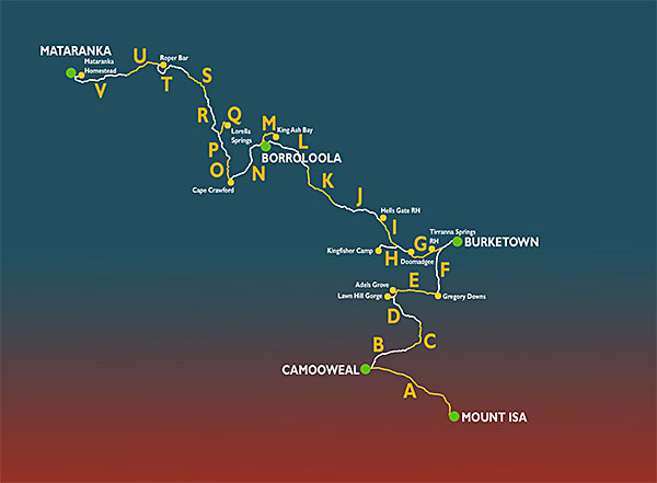
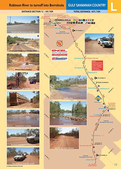
The Sectioned Maps will help you find everything of interest along the Track and point out potential road cautions in advance, supported by visual references, for the benefit of your safety. All Regional Roads and Public Access Routes. Full colour throughout. Colour coded track information indicating dips, crests, creek crossings, floodways, sharp bends, grids, gates, bogs, homestead tracks, historic sites. Photographic views, geographic locations, towns and services.
NEW! Digital Map Guides
Now available from the Avenza online shop in PDF format for usage on tablets, smartphones and Powerbooks.